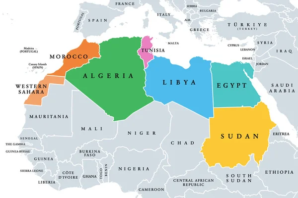
Northern Africa, subregion, political map with single countries and international borders. Group of Mediterranean countries on the African continent geoscheme. Illustration on white background. Vector
Esta foto
Northern Africa, subregion, political map with single countries and international borders. Group of Mediterranean countries on the African continent geoscheme. Illustration on white background. Vector.
Datos de la Imágen (tiene derechos de autor*)
- Fotografía:
-
Northern Africa, subregion, political map with single countries and international borders. Group of Mediterranean countries on the African continent geoscheme. Illustration on white background. Vector
- Autor:
- Ancho original:
-
9000 píxeles.
- Altura original:
-
6000 píxeles.
- Tamaño:
-
54 megapíxeles.
- Categorías:
-
- Palabras Clave:
-
viajes islas Canarias Sudán subregión infografía Marruecos Fondo blanco Mediterráneo Sahara Occidental estado Libia región geografía Madeira Norte Sahara Occidental gris mapa vector Aislado cartografía Egipto Europa isla Mar nación frontera Magreb Norte de África acuerdo Atlas geoscheme cuenca Internacionales Argelia Túnez africanas Visión general Grupo Tierras zona Continente Mapa político país Color África ilustración .
Popularidad
- Vistas:
- 37
- Descargas:
- 0

Fotos similares
Otros temas con fotografías que le puede interesar
- Viajes
- acuerdo
- Grupo
- Túnez
- ilustración
- mapa
- Visión general
- subregión
- Norte
- país
- geografía
- Sudán
- Mapa político
- frontera
- infografía
- Internacionales
- nación
- cuenca
- Mar
- Argelia
- Sahara
- zona
- Continente
- cartografía
- Estado
- Color
- Tierras
- Fondo blanco
- Aislado
- Europa
- Marruecos
- Libia
- Mediterráneo
- africanas
- isla
- Norte de África
- Occidental
- Islas Canarias
- Madeira
- Magreb
- Atlas
- Sahara Occidental
- Egipto
- región
- gris
- África
- geoscheme
- vector
(*) Sitio para adquirir: Link externo para Comprar
Fotografía de Northern Africa, subregion, political map with single countries and international borders. Group of Mediterranean countries on the African continent geoscheme. Illustration on white background. Vector, que incluye Northern Africa, subregion, political map with single countries and international borders. Group of Mediterranean countries on the African continent geoscheme. Illustration on white background. Vector.
Todas las imágenes por Depositphotos