Diarios
Temas
Cotización del Dólar
Cotización Oficial e Histórica desde 1932
Cocina y bebidas
Recetas de Cocina y deliciosas bebidas
Salud
Escrito por médicos y especialistas.
Contabilidad
Conozca las precisiones del sistema contable
Historias de Reflexión
Narraciones con enseñanzas
Gramática
Una ayuda eficaz para el día
Autos, Brevetes y Soat
Información del mundo automotriz
Datos Útiles
Tablas y otros conocimientos útiles
Belleza
Artículos prácticos y saludables
Directorios
Catálogos
Museos
Sitios Arqueológicos
Lugares de Esparcimiento
Areas Naturales
Comercios
Cajeros y Agentes de Bancos
Colegios, Universidades e Institutos
Peruanos en el Extranjero
Centros Poblados
Municipalidades
Mapas del Perú
Red Vial Nacional
Emergencias
Reportes de Sismos
Calendario
Cine
TV y videos
Radios en Vivo
Juegos
Apellidos Peruanos
Nombres Peruanos
Dimensiones de SmarTV
Calculadora de IGV
Cambio de billetes
Leyes
Playas
Instituciones de Salud
Sexualidad
Fulbito
Destinos Terrestres
Vuelos Nacionales
Modelos de vehículos
Blogs en DePeru.com
Todo en DePeru.com
22.4º
Lima
Registrar
Formularios para registrar
Agregar un Comercio
Incluir una Radio
Recomendar un día al Calendario
Enviar nota de prensa
Registrar organización para Peruanos en el Extranjero
Contacte a DePeru.com
Imágenes
Celulares
Enviar mensaje a WhatsApp
Averiguar Operador Celular
Averiguar Operador Fijo
WhatsApp Web
¿Busca una imagen del Perú?
Con nuestro banco de imágenes* lo podemos ayudar.
Buscar
Comida del Perú
Vicuñas
Perú
Alpacas
Cocina Peruana
Foto Noticias
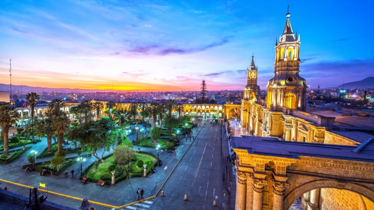
Fotos de Ciudades
Todas las imágenes por
DepositPhotos
Este sitio usa imágenes de
Depositphotos