EPS
Esta foto
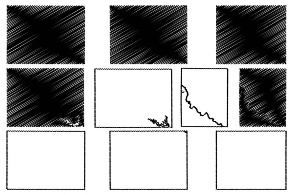
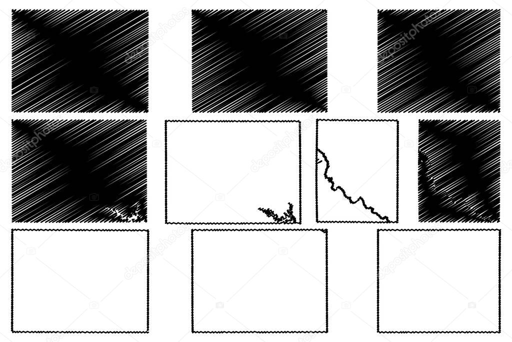
Montgomery, Monroe, Mitchell, Lucas and Linn County, Iowa (U.S. County, United States of America, USA, U.S., US) map vector illustration, scribble sketch map.
Datos de la Imßgen (tiene derechos de autor*)
- FotografÝa:
Montgomery, Monroe, Mitchell, Lucas and Linn County, Iowa (U.S. County, United States of America, USA, U.S., US) map vector illustration, scribble sketch map
- Autor:
- Ancho original:
7087 pÝxeles.
- Altura original:
4726 pÝxeles.
- Tama˝o:
33.49 megapÝxeles.
- CategorÝas:
- Palabras Clave:
Mitchell Monroe garabato Aislado silueta nosotros TopografÝa americano Continente frontera contorno Rasgu˝o Estados Unidos Territorio Contexto LÝmite mapa viajes negro insignia ciudad Lucas nacional Abstracto Linn geografÝa icono Norte ilustraciˇn esquema AmÚrica Moderno vector sÝmbolo Sidney paÝs zona lÝnea Iowa provincia Metropolitano signo regiˇn Montgomery unidos Dibujo distrito .
Popularidad
- Vistas:
- 2
- Descargas:
- 0
Fotos similares
Otros temas con fotografÝas que le puede interesar
- Monroe
- Rasgu˝o
- Metropolitano
- sÝmbolo
- Dibujo
- americano
- Aislado
- ciudad
- contorno
- Viajes
- ilustraciˇn
- LÝmite
- Norte
- zona
- Territorio
- frontera
- signo
- Abstracto
- Estados Unidos
- Contexto
- paÝs
- TopografÝa
- unidos
- provincia
- Iowa
- silueta
- AmÚrica
- Moderno
- distrito
- nacional
- Montgomery
- vector
- insignia
- Sidney
- geografÝa
- garabato
- esquema
- Linn
- mapa
- nosotros
- Mitchell
- regiˇn
- icono
- Lucas
- lÝnea
- Continente
- negro
(*) Sitio para adquirir: Link externo para Comprar
FotografÝa de Montgomery, Monroe, Mitchell, Lucas and Linn County, Iowa (U.S. County, United States of America, USA, U.S., US) map vector illustration, scribble sketch map, que incluye Montgomery, Monroe, Mitchell, Lucas and Linn County, Iowa (U.S. County, United States of America, USA, U.S., US) map vector illustration, scribble sketch map.
Todas las imßgenes por Depositphotos
Este sitio usa imßgenes de Depositphotos