
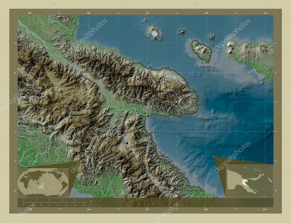
Morobe, province of Papua New Guinea. Elevation map colored in wiki style with lakes and rivers. Locations of major cities of the region. Corner auxiliary location maps
Esta foto
Morobe, province of Papua New Guinea. Elevation map colored in wiki style with lakes and rivers. Locations of major cities of the region. Corner auxiliary location maps.
Datos de la Imágen (tiene derechos de autor*)
- Fotografía:
-
Morobe, province of Papua New Guinea. Elevation map colored in wiki style with lakes and rivers. Locations of major cities of the region. Corner auxiliary location maps
- Autor:
- Ancho original:
-
4930 píxeles.
- Altura original:
-
3770 píxeles.
- Tamaño:
-
18.59 megapíxeles.
- Categorías:
-
- Palabras Clave:
-
PNG bakeri Ciencia kabwum región Tierras océano morobe frontera puleno división administrativa estereográfico ¡Woo! garasa popoe país Continente mundo Naturaleza Papúa Nueva Guinea Leyenda forma lae sopera Zoom: motete geografía Finschhafen Territorio Capital social provincia Oceanía tierra contorno planeta mapa saiko tiwa esquema Atlas bulolo muniwa puerto moresby .
Popularidad
- Vistas:
- 0
- Descargas:
- 0
Fotos similares
Otros temas con fotografías que le puede interesar
- PNG
- bulolo
- motete
- muniwa
- esquema
- océano
- lae
- región
- tierra
- sopera
- mapa
- estereográfico
- Tierras
- bakeri
- kabwum
- provincia
- tiwa
- planeta
- puleno
- garasa
- popoe
- Capital social
- Ciencia
- Oceanía
- frontera
- Atlas
- Territorio
- Papúa Nueva Guinea
- división administrativa
- Continente
- morobe
- país
- Leyenda
- ¡Woo!
- geografía
- Naturaleza
- forma
- Zoom:
- contorno
- puerto moresby
- saiko
- Finschhafen
- mundo
(*) Sitio para adquirir: Link externo para Comprar
Fotografía de Morobe, province of Papua New Guinea. Elevation map colored in wiki style with lakes and rivers. Locations of major cities of the region. Corner auxiliary location maps, que incluye Morobe, province of Papua New Guinea. Elevation map colored in wiki style with lakes and rivers. Locations of major cities of the region. Corner auxiliary location maps.
Todas las imágenes por Depositphotos