Rotenburg district (Federal Republic of Germany, rural district, State of Lower Saxony) mapa vector illustration, scribble sketch Rotenburg (Wumme) mapa
Esta foto
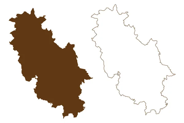
Rotenburg district (Federal Republic of Germany, rural district, State of Lower Saxony) mapa vector illustration, scribble sketch Rotenburg (Wumme) mapa.
Datos de la Im·gen (tiene derechos de autor*)
- FotografÌa:
Rotenburg district (Federal Republic of Germany, rural district, State of Lower Saxony) mapa vector illustration, scribble sketch Rotenburg (Wumme) mapa
- Autor:
- Ancho original:
7087 pÌxeles.
- Altura original:
4726 pÌxeles.
- TamaÒo:
33.49 megapÌxeles.
- CategorÌas:
- Palabras Clave:
frontera Dibujo Europa turismo zona Alemania garabato silueta contorno Aislado nacional piso estado Distritos Abstracto signo mapa geografÌa lÌnea textura marrÛn Rep˙blica Federal de Alemania viajes DivisiÛn insignia Territorio Simple TopografÌa ”blast de bosquejo Administrativo sÌmbolo regiÛn ilustraciÛn lÌmite icono delimitaciÛn RasguÒo ciudad vector diseÒo provincia cartografÌa esquema naciÛn paÌs rotenburg patriÛtico .
Popularidad
- Vistas:
- 0
- Descargas:
- 0

Fotos similares
Otros temas con fotografÌas que le puede interesar
- lÌmite
- lÌnea
- RasguÒo
- ilustraciÛn
- bosquejo
- sÌmbolo
- Simple
- mapa
- Territorio
- Rep˙blica Federal de Alemania
- ciudad
- Aislado
- provincia
- Turismo
- insignia
- nacional
- contorno
- Alemania
- Dibujo
- rotenburg
- frontera
- cartografÌa
- naciÛn
- Distritos
- Viajes
- marrÛn
- Estado
- signo
- vector
- patriÛtico
- piso
- esquema
- diseÒo
- paÌs
- TopografÌa
- icono
- silueta
- geografÌa
- ”blast de
- DivisiÛn
- Abstracto
- Europa
- delimitaciÛn
- zona
- textura
- Administrativo
- regiÛn
- garabato
(*) Sitio para adquirir: Link externo para Comprar
FotografÌa de Rotenburg district (Federal Republic of Germany, rural district, State of Lower Saxony) mapa vector illustration, scribble sketch Rotenburg (Wumme) mapa, que incluye Rotenburg district (Federal Republic of Germany, rural district, State of Lower Saxony) mapa vector illustration, scribble sketch Rotenburg (Wumme) mapa.
Todas las im·genes por Depositphotos