EPS
Esta foto
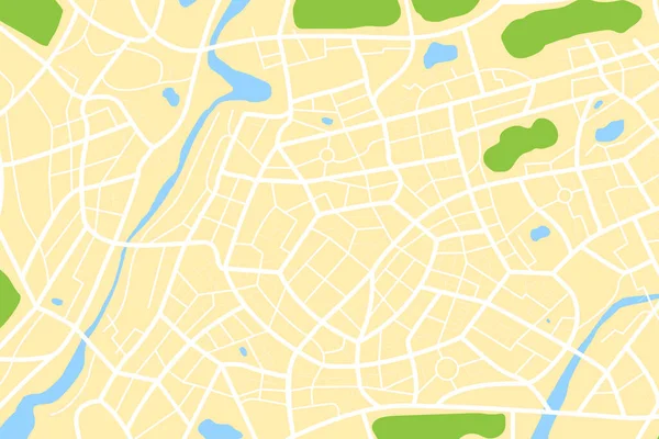
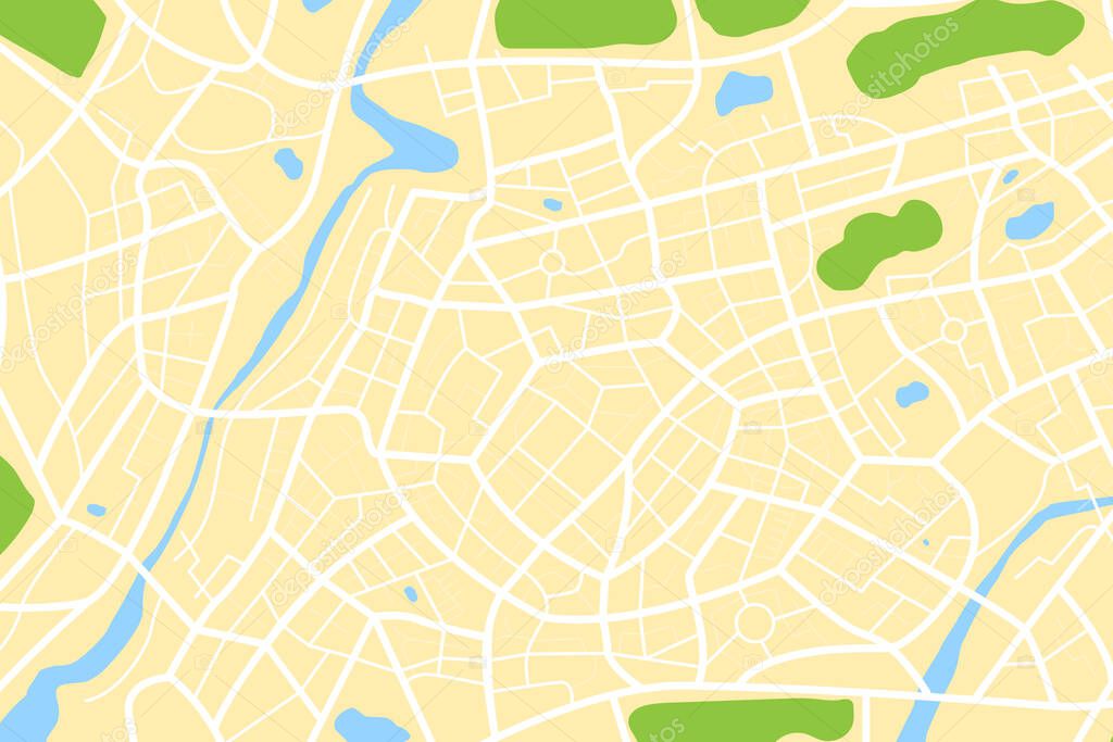
Aerial clean top view of the city map with street and river, Blank urban imagination map, GPS map navigator concept, vector illustration.
Datos de la Imßgen (tiene derechos de autor*)
- FotografÝa:
Aerial clean top view of the city map with street and river, Blank urban imagination map, GPS map navigator concept, vector illustration
- Autor:
- Ancho original:
7250 pÝxeles.
- Altura original:
4833 pÝxeles.
- Tama˝o:
35.04 megapÝxeles.
- CategorÝas:
- Palabras Clave:
parque distrito viajes navegaciˇn cartˇgrafo cartografÝa Navegador global mapa transporte planificaciˇn Limpio RÝo Orientaciˇn sÝmbolo ciudad urbano plan a Abstracto GPS lugar Ubicaciˇn Sin costuras verde geogrßfico Viaje geografÝa forma Contexto carretera calle Municipio Cuadrado ilustraciˇn Encrucijada direcciˇn Sistema Viajar vector posicionamiento informaciˇn Patrˇn gris centro de la ciudad Grßfico Centro ciudad .
Popularidad
- Vistas:
- 3
- Descargas:
- 0
Fotos similares
Otros temas con fotografÝas que le puede interesar
- Cuadrado
- informaciˇn
- Abstracto
- Orientaciˇn
- Viajar
- geogrßfico
- forma
- Centro ciudad
- parque
- geografÝa
- Sistema
- Encrucijada
- gris
- global
- mapa
- centro de la ciudad
- cartografÝa
- Contexto
- Patrˇn
- planificaciˇn
- lugar
- posicionamiento
- GPS
- Municipio
- ilustraciˇn
- Transporte
- distrito
- Ubicaciˇn
- cartˇgrafo
- Navegador
- Limpio
- direcciˇn
- Viajes
- RÝo
- Sin costuras
- ciudad
- sÝmbolo
- vector
- Grßfico
- verde
- navegaciˇn
- Viaje
- plan a
- urbano
- carretera
- calle
(*) Sitio para adquirir: Link externo para Comprar
FotografÝa de Aerial clean top view of the city map with street and river, Blank urban imagination map, GPS map navigator concept, vector illustration, que incluye Aerial clean top view of the city map with street and river, Blank urban imagination map, GPS map navigator concept, vector illustration.
Todas las imßgenes por Depositphotos
Este sitio usa imßgenes de Depositphotos