Esta foto
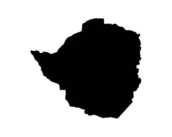
Zimbabwe Map. Zimbabwean Country Map. Black and White Zimbo National Nation Geography Outline Border Boundary Territory Shape Vector Illustration EPS Clipart.
Datos de la Imágen (tiene derechos de autor*)
- Fotografía:
Zimbabwe Map. Zimbabwean Country Map. Black and White Zimbo National Nation Geography Outline Border Boundary Territory Shape Vector Illustration EPS Clipart
- Autor:
- Ancho original:
5000 píxeles.
- Altura original:
4000 píxeles.
- Tamaño:
20 megapíxeles.
- Categorías:
- Palabras Clave:
corte mundo Tierras Detallado país nacional zimbo EPS láser clip de Recorte calcomanía nación Fuera forma detalle icono Aislado geografía negro diseño zona obras de arte Grabado mapa esquema configuración regional Atlas Contexto África silueta Imágenes Prediseñadas africanas blanco región Gráfico Ubicación Límite Abstracto arte Zimbabue vector SVG cartografía frontera ilustración .
Popularidad
- Vistas:
- 2
- Descargas:
- 0

Fotos similares
Otros temas con fotografías que le puede interesar
- mapa
- nacional
- diseño
- cartografía
- Recorte
- Abstracto
- calcomanía
- africanas
- país
- obras de arte
- configuración regional
- negro
- Atlas
- Fuera
- Contexto
- Ubicación
- vector
- Grabado
- frontera
- Aislado
- Zimbabue
- mundo
- ilustración
- icono
- clip de
- Gráfico
- láser
- geografía
- nación
- Límite
- SVG
- Detallado
- corte
- zimbo
- Imágenes Prediseñadas
- EPS
- zona
- arte
- región
- Tierras
- forma
- detalle
- blanco
- esquema
- silueta
- África
(*) Sitio para adquirir: Link externo para Comprar
Fotografía de Zimbabwe Map. Zimbabwean Country Map. Black and White Zimbo National Nation Geography Outline Border Boundary Territory Shape Vector Illustration EPS Clipart, que incluye Zimbabwe Map. Zimbabwean Country Map. Black and White Zimbo National Nation Geography Outline Border Boundary Territory Shape Vector Illustration EPS Clipart.
Todas las imágenes por Depositphotos