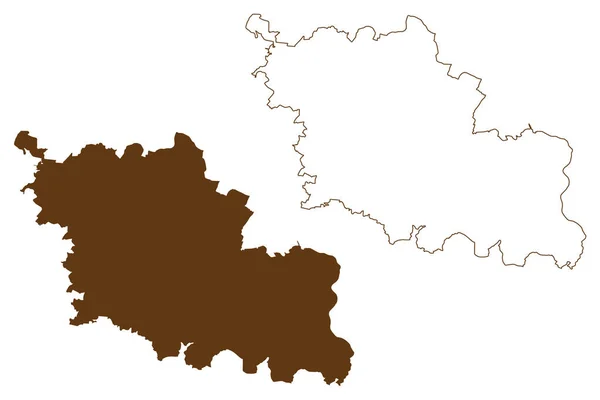
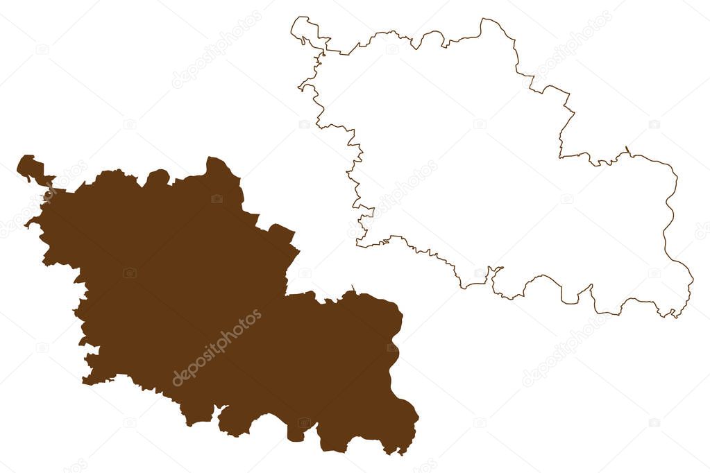
Oder-Spree district (Federal Republic of Germany, rural district, State of Brandenburg) mapa vector illustration, scribble sketch Oder Spree map
Esta foto
Oder-Spree district (Federal Republic of Germany, rural district, State of Brandenburg) mapa vector illustration, scribble sketch Oder Spree map.
Datos de la Imágen (tiene derechos de autor*)
- Fotografía:
Oder-Spree district (Federal Republic of Germany, rural district, State of Brandenburg) mapa vector illustration, scribble sketch Oder Spree map
- Autor:
- Ancho original:
7087 píxeles.
- Altura original:
4726 píxeles.
- Tamańo:
33.49 megapíxeles.
- Categorías:
- Palabras Clave:
país vector símbolo viajes Topografía cartografía patriótico contorno región División República Federal de Alemania signo delimitación ciudad ilustración bosquejo garabato provincia diseńo estado insignia límite Alemania textura icono frontera esquema Europa Administrativo marrón nación Territorio Simple silueta turismo Oder spree Abstracto Óblast de Dibujo Rasguńo nacional zona piso línea geografía Distritos Aislado mapa .
Popularidad
- Vistas:
- 0
- Descargas:
- 0
Fotos similares
Otros temas con fotografías que le puede interesar
- delimitación
- icono
- Dibujo
- línea
- ciudad
- símbolo
- silueta
- vector
- ilustración
- mapa
- Alemania
- piso
- nación
- Europa
- Estado
- Rasguńo
- marrón
- insignia
- diseńo
- esquema
- nacional
- División
- contorno
- Administrativo
- Simple
- provincia
- patriótico
- garabato
- Turismo
- Aislado
- Viajes
- Oder spree
- Territorio
- Distritos
- República Federal de Alemania
- bosquejo
- signo
- frontera
- geografía
- límite
- país
- región
- zona
- textura
- cartografía
- Óblast de
- Topografía
- Abstracto
(*) Sitio para adquirir: Link externo para Comprar
Fotografía de Oder-Spree district (Federal Republic of Germany, rural district, State of Brandenburg) mapa vector illustration, scribble sketch Oder Spree map, que incluye Oder-Spree district (Federal Republic of Germany, rural district, State of Brandenburg) mapa vector illustration, scribble sketch Oder Spree map.
Todas las imágenes por Depositphotos