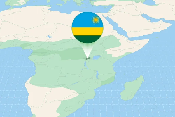
Map illustration of Rwanda with the flag. Cartographic illustration of Rwanda and neighboring countries.
Esta foto
Map illustration of Rwanda with the flag. Cartographic illustration of Rwanda and neighboring countries..
Datos de la Imágen (tiene derechos de autor*)
- Fotografía:
Map illustration of Rwanda with the flag. Cartographic illustration of Rwanda and neighboring countries.
- Autor:
- Ancho original:
6000 píxeles.
- Altura original:
4000 píxeles.
- Tamańo:
24 megapíxeles.
- Categorías:
- Palabras Clave:
Bandera de Ruanda África Oriental África Sol Internacionales vecinos Comunicación africanas océano Kigali Gráfico símbolo vecino Infografía mundial Este Presentación tierra información Capital social Simple global ilustración icono cartografía mapa infográfico bandera círculo Concepto Tierras cartográfico Ubicación sur verde país Ruanda Mapa perspectiva Ruanda mundo Economía planeta dirección signo fondo del mapa localizador geografía mapa Continentes .
Popularidad
- Vistas:
- 1
- Descargas:
- 0

Fotos similares
Otros temas con fotografías que le puede interesar
- vecinos
- Economía
- información
- Sol
- Concepto
- bandera
- Este
- planeta
- tierra
- sur
- círculo
- cartografía
- Presentación
- Continentes
- Comunicación
- fondo del mapa
- Capital social
- Internacionales
- mapa infográfico
- icono
- Bandera de Ruanda
- Simple
- cartográfico
- Ruanda Mapa
- Gráfico
- localizador
- geografía
- signo
- africanas
- Ruanda
- África Oriental
- Ubicación
- mundo
- global
- país
- Tierras
- ilustración
- símbolo
- océano
- dirección
- Infografía mundial
- perspectiva
- Kigali
- verde
- África
- vecino
- mapa
(*) Sitio para adquirir: Link externo para Comprar
Fotografía de Map illustration of Rwanda with the flag. Cartographic illustration of Rwanda and neighboring countries., que incluye Map illustration of Rwanda with the flag. Cartographic illustration of Rwanda and neighboring countries..
Todas las imágenes por Depositphotos