EPS
Esta foto
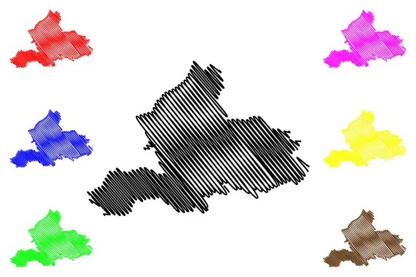
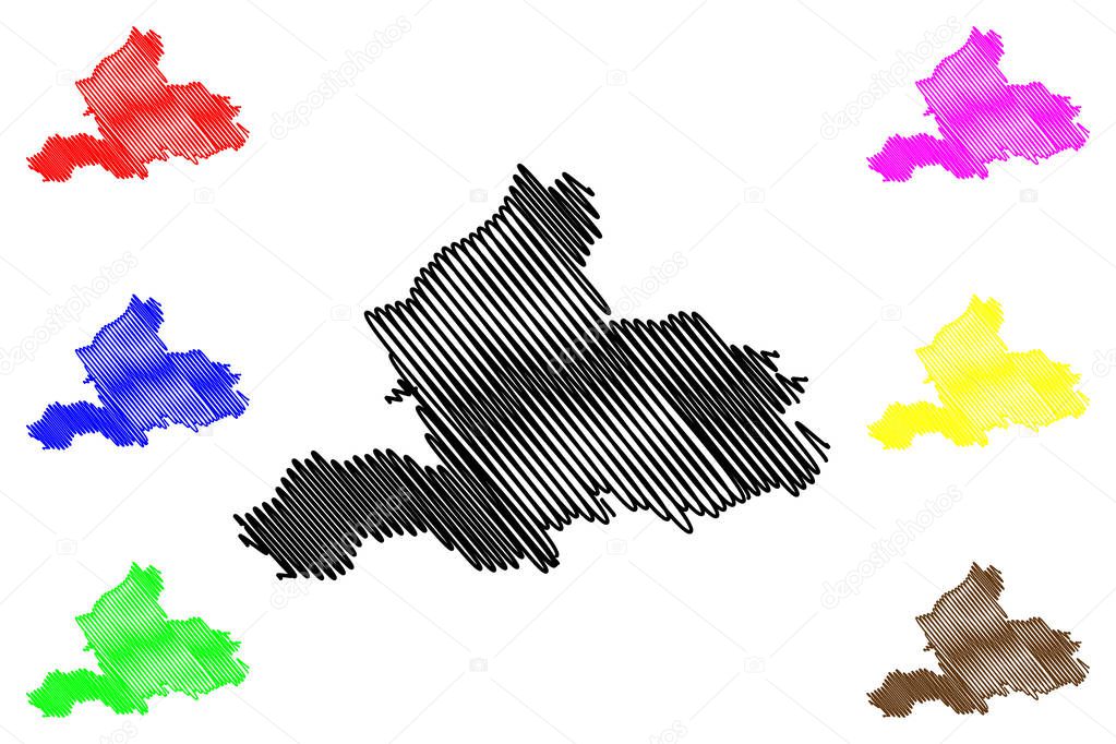
Gelderland province (Kingdom of the Netherlands, Holland) mapa vector illustration, scribble sketch Mapa de Guelders.
Datos de la Imįgen (tiene derechos de autor*)
- Fotografķa:
Gelderland province (Kingdom of the Netherlands, Holland) mapa vector illustration, scribble sketch Mapa de Guelders
- Autor:
- Ancho original:
7087 pķxeles.
- Altura original:
4726 pķxeles.
- Tamańo:
33.49 megapķxeles.
- Categorķas:
- Palabras Clave:
turismo garabato mapa viajes región Topografķa Continente icono Unión Europea silueta textura piso Autonomķa vector diseńo Aislado esquema leeuwarden Dibujo zona cartografķa estado signo Administrativo Rasguńo Reino Unido Óblast de Paķses Bajos Distritos geografķa ilustración ciudad mundo Arnhem güeldres Abstracto nacional frontera Territorio contorno insignia lķnea División provincia patriótico Europa paķs Contexto .
Popularidad
- Vistas:
- 1
- Descargas:
- 0
Fotos similares
Otros temas con fotografķas que le puede interesar
- Aislado
- cartografķa
- patriótico
- Rasguńo
- zona
- icono
- vector
- Topografķa
- Arnhem
- leeuwarden
- Reino Unido
- diseńo
- silueta
- frontera
- Óblast de
- lķnea
- textura
- Turismo
- Autonomķa
- región
- Continente
- insignia
- Abstracto
- piso
- Territorio
- Unión Europea
- Contexto
- garabato
- provincia
- ilustración
- paķs
- División
- nacional
- Administrativo
- signo
- contorno
- Estado
- Distritos
- güeldres
- ciudad
- esquema
- mundo
- Dibujo
- Viajes
- geografķa
- mapa
- Paķses Bajos
- Europa
(*) Sitio para adquirir: Link externo para Comprar
Fotografķa de Gelderland province (Kingdom of the Netherlands, Holland) mapa vector illustration, scribble sketch Mapa de Guelders, que incluye Gelderland province (Kingdom of the Netherlands, Holland) mapa vector illustration, scribble sketch Mapa de Guelders.
Todas las imįgenes por Depositphotos
Este sitio usa imįgenes de Depositphotos