EPS
Esta foto
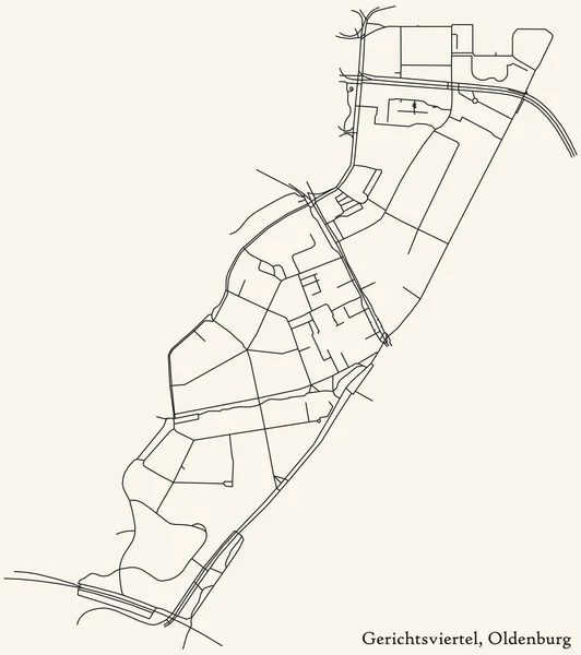
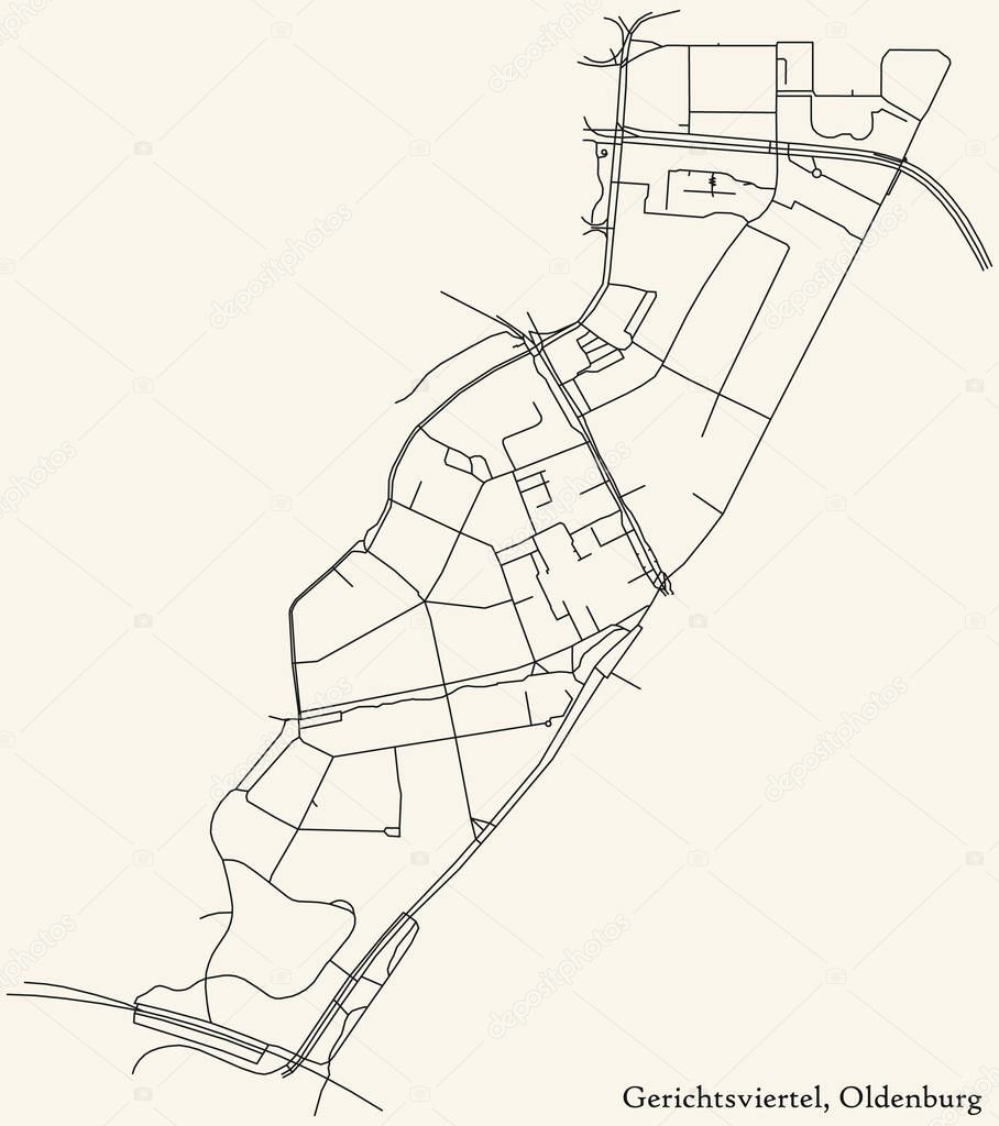
Detailed navigation black lines urban street roads map of the GERICHTSVIERTEL DISTRICT of the German regional capital city of Oldenburg, Germany on vintage beige background.
Datos de la Imßgen (tiene derechos de autor*)
- FotografĒa:
Detailed navigation black lines urban street roads map of the GERICHTSVIERTEL DISTRICT of the German regional capital city of Oldenburg, Germany on vintage beige background
- Autor:
- Ancho original:
4700 pĒxeles.
- Altura original:
5300 pĒxeles.
- Tama±o:
24.91 megapĒxeles.
- CategorĒas:
- Palabras Clave:
No hay gente Fondo transparente sĒmbolo patriotismo direcci¾n Oldenburgo plan documento paisaje paisaje Distrito residencial signo viajes vector ilustraci¾n gobierno Mapa de carreteras cultura alemana carretera lengua alemana esquema cartografĒa Datos destinos de viaje Alemania Industria de construcci¾n dise±o GeografĒa fĒsica icono borough district type Monta±a asfalto autopista BERL═N sistema de posicionamiento global planificaci¾n ciudad Escudo de armas Trßfico Uni¾n Europea coche Viaje casa corten infografĒa Tierras Curva mapa transporte comunidad Equipo de navegaci¾n .
Popularidad
- Vistas:
- 2
- Descargas:
- 0
Fotos similares
Otros temas con fotografĒas que le puede interesar
- sistema de posicionamiento global
- patriotismo
- lengua alemana
- icono
- Fondo transparente
- Datos
- dise±o
- paisaje paisaje
- destinos de viaje
- infografĒa
- corten
- ciudad
- sĒmbolo
- Trßfico
- BERL═N
- Oldenburgo
- esquema
- planificaci¾n
- Tierras
- plan documento
- comunidad
- Escudo de armas
- autopista
- Viajes
- ilustraci¾n
- direcci¾n
- borough district type
- asfalto
- cartografĒa
- Uni¾n Europea
- No hay gente
- cultura alemana
- Transporte
- Monta±a
- Industria de construcci¾n
- Equipo de navegaci¾n
- Distrito residencial
- coche
- vector
- Alemania
- Mapa de carreteras
- GeografĒa fĒsica
- Gobierno
- casa
- signo
- carretera
- mapa
- Curva
- Viaje
(*) Sitio para adquirir: Link externo para Comprar
FotografĒa de Detailed navigation black lines urban street roads map of the GERICHTSVIERTEL DISTRICT of the German regional capital city of Oldenburg, Germany on vintage beige background, que incluye Detailed navigation black lines urban street roads map of the GERICHTSVIERTEL DISTRICT of the German regional capital city of Oldenburg, Germany on vintage beige background.
Todas las imßgenes por Depositphotos
Este sitio usa imßgenes de Depositphotos