EPS
Esta foto
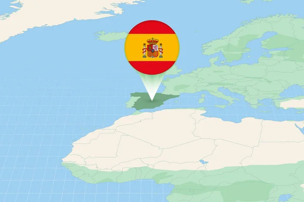
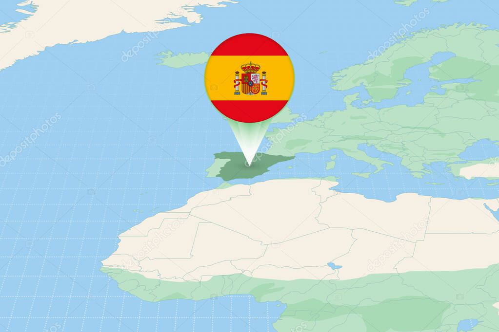
Map illustration of Spain with the flag. Cartographic illustration of Spain and neighboring countries..
Datos de la Imįgen (tiene derechos de autor*)
- Fotografķa:
Map illustration of Spain with the flag. Cartographic illustration of Spain and neighboring countries.
- Autor:
- Ancho original:
6000 pķxeles.
- Altura original:
4000 pķxeles.
- Tamańo:
24 megapķxeles.
- Categorķas:
- Palabras Clave:
mapa ibérico frontera Polķtica signo cartogrįfico espańol información ESPAŃA Madrid Topografķa Bandera de Espańa Globo europeo Europa En todo el mundo Grįfico Espana Espańa Mapa Euro bandera Moderno geografķa verde vecinos Mapa del mundo suroeste cartografķa Unión Europea Europa del suroeste Reino Unido icono elementos vector Internacionales Capital social Ubicación tierra perspectiva paķs vecino mundo Continente viajes .
Popularidad
- Vistas:
- 0
- Descargas:
- 0
Fotos similares
Otros temas con fotografķas que le puede interesar
- tierra
- Polķtica
- ESPAŃA
- Mapa del mundo
- Internacionales
- mundo
- información
- geografķa
- icono
- cartogrįfico
- Madrid
- Bandera de Espańa
- Topografķa
- En todo el mundo
- Grįfico
- vector
- espańol
- paķs
- frontera
- signo
- Capital social
- ibérico
- Europa del suroeste
- Continente
- europeo
- mapa
- Unión Europea
- cartografķa
- Espańa Mapa
- bandera
- Euro
- suroeste
- Espana
- elementos
- vecinos
- Globo
- Europa
- Moderno
- vecino
- Viajes
- verde
- perspectiva
- Reino Unido
- Ubicación
(*) Sitio para adquirir: Link externo para Comprar
Fotografķa de Map illustration of Spain with the flag. Cartographic illustration of Spain and neighboring countries., que incluye Map illustration of Spain with the flag. Cartographic illustration of Spain and neighboring countries..
Todas las imįgenes por Depositphotos
Este sitio usa imįgenes de Depositphotos