
JPG
Esta foto
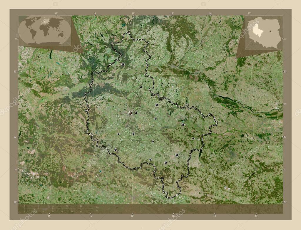
Wielkopolskie, voivodeship|province of Poland. High resolution satellite map. Locations of major cities of the region. Corner auxiliary location maps.
Datos de la Imßgen (tiene derechos de autor*)
- FotografÝa:
Wielkopolskie, voivodeship|province of Poland. High resolution satellite map. Locations of major cities of the region. Corner auxiliary location maps
- Autor:
- Ancho original:
4930 pÝxeles.
- Altura original:
3770 pÝxeles.
- Tama˝o:
18.59 megapÝxeles.
- CategorÝas:
- Palabras Clave:
frontera Gniezno wagrowiec Kalisz Poznan paÝs turek planeta Capital social benzalina regiˇn rizesnia contorno Leyenda Zoom: Naturaleza mapa divisiˇn administrativa Atlas ocÚano Ostrow wielkopolski esquema mundo Leszno tierra Ciencia Tierras Territorio Europa voivodato geografÝa Polonia Pila POL kosciano forma krotoszyn lubˇn jarocina estereogrßfico SREM swarzedz provincia Wielkopolskie Continente .
Popularidad
- Vistas:
- 1
- Descargas:
- 0
Fotos similares
Otros temas con fotografÝas que le puede interesar
- mundo
- geografÝa
- regiˇn
- wagrowiec
- Naturaleza
- rizesnia
- Ciencia
- contorno
- Atlas
- voivodato
- Gniezno
- SREM
- jarocina
- Leyenda
- krotoszyn
- Pila
- Capital social
- Leszno
- paÝs
- swarzedz
- esquema
- Kalisz
- Tierras
- benzalina
- Continente
- Zoom:
- Wielkopolskie
- provincia
- Ostrow wielkopolski
- planeta
- Territorio
- turek
- Poznan
- forma
- ocÚano
- lubˇn
- Europa
- mapa
- Polonia
- POL
- tierra
- kosciano
- estereogrßfico
- frontera
- divisiˇn administrativa
(*) Sitio para adquirir: Link externo para Comprar
FotografÝa de Wielkopolskie, voivodeship|province of Poland. High resolution satellite map. Locations of major cities of the region. Corner auxiliary location maps, que incluye Wielkopolskie, voivodeship|province of Poland. High resolution satellite map. Locations of major cities of the region. Corner auxiliary location maps.
Todas las imßgenes por Depositphotos
Este sitio usa imßgenes de Depositphotos