EPS
Esta foto
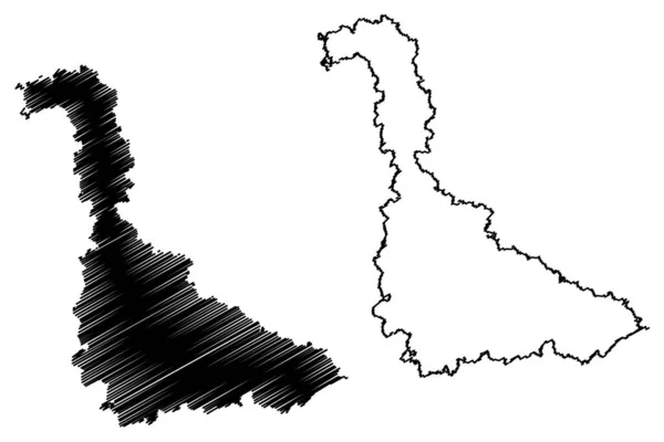
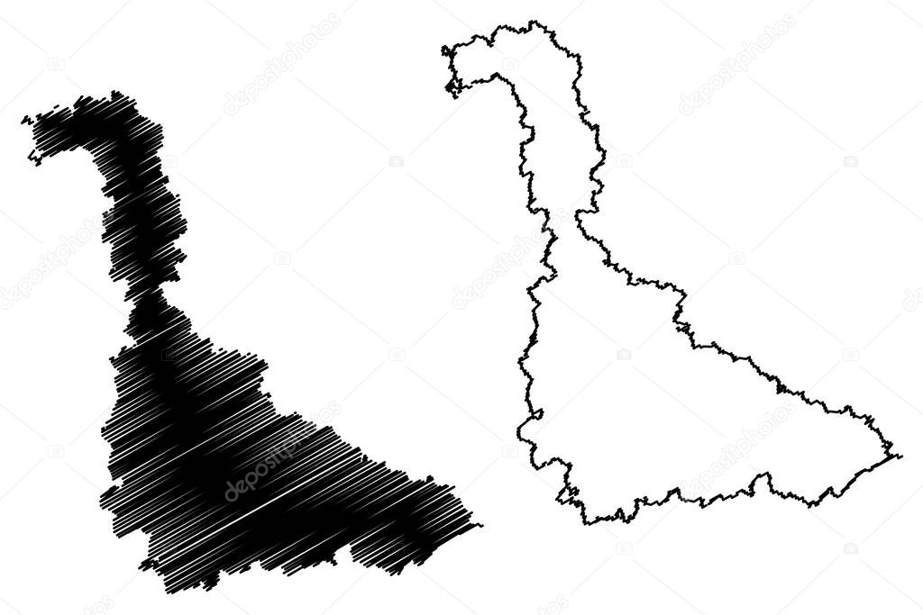
Meurthe-et-Moselle Department (France, French Republic, Grand Est region) mapa vector illustration, scribble sketch Meurthe et Moselle map.
Datos de la Imßgen (tiene derechos de autor*)
- FotografÝa:
Meurthe-et-Moselle Department (France, French Republic, Grand Est region) mapa vector illustration, scribble sketch Meurthe et Moselle map
- Autor:
- Ancho original:
7087 pÝxeles.
- Altura original:
4726 pÝxeles.
- Tama˝o:
33.49 megapÝxeles.
- CategorÝas:
- Palabras Clave:
garabato mundo viajes textura mapa TopografÝa insignia cartografÝa Territorio Aislado frontera Dibujo signo ilustraciˇn Abstracto zona Meurthe et moselle provincia esquema vector AutonomÝa nacional Nancy dise˝o patriˇtico Ëblast de paÝs icono Divisiˇn Europa turismo silueta Distritos lÝnea piso Rep˙blica Federal de Alemania negro estado Continente Francia bosquejo geografÝa contorno Administrativo Contexto ciudad regiˇn Rasgu˝o .
Popularidad
- Vistas:
- 2
- Descargas:
- 0
Fotos similares
Otros temas con fotografÝas que le puede interesar
- Divisiˇn
- Nancy
- Europa
- mapa
- ilustraciˇn
- ciudad
- Francia
- TopografÝa
- Rep˙blica Federal de Alemania
- negro
- Distritos
- Abstracto
- silueta
- frontera
- Continente
- Territorio
- AutonomÝa
- dise˝o
- piso
- Rasgu˝o
- cartografÝa
- signo
- garabato
- nacional
- zona
- Aislado
- insignia
- vector
- lÝnea
- bosquejo
- Viajes
- Turismo
- contorno
- icono
- regiˇn
- geografÝa
- Administrativo
- esquema
- Estado
- Dibujo
- textura
- Meurthe et moselle
- paÝs
- provincia
- mundo
- patriˇtico
- Contexto
- Ëblast de
(*) Sitio para adquirir: Link externo para Comprar
FotografÝa de Meurthe-et-Moselle Department (France, French Republic, Grand Est region) mapa vector illustration, scribble sketch Meurthe et Moselle map, que incluye Meurthe-et-Moselle Department (France, French Republic, Grand Est region) mapa vector illustration, scribble sketch Meurthe et Moselle map.
Todas las imßgenes por Depositphotos
Este sitio usa imßgenes de Depositphotos